
Rest of Europe
While we have entered my much anticipated warm and wet spell in November with a long fetched moisture plume extending from the UK back out into the subtropical Atlantic, this is not all that dissimilar to what was experienced in November 2009 when Cumbria experienced devastating flooding. This very event was something I believed could setup this year […]

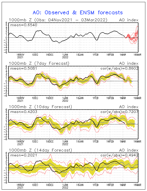
We live in very interesting times. With the NAO/AO now positive, we’re seeing the atmosphere do what I’ve been hoping for and that is the building of cold over the source region during November. Given the negative trend in the NAO ensembles and the forecast of a return to negative later this month, this reload at a time […]

An upper level ridge is set to expand across most of continental Europe next week supporting mild temperatures and settled weather with sunny days and misty, foggy and chilly nights. Daytime highs may range from 5-10C above seasonal averages. Both ECMWF and GFS show upper as well as surface high pressure, so cloud should be minimal across a […]

As highlighted way back last week and indeed forecasted months ago, we are seeing the NAO head well into positive territory. This was clearly outlined and I strongly stated the importance of a reload period during November, right be winter begins. As also expected, people are jumping all over this spike who are wishing for a warm winter. […]

Scotland Tuesday night into Wednesday morning will be somewhat wet and windy as a weather system pushes through bringing a rather dreary start to Halloween. While the first half of Wednesday looks wet and windy, I am optimistic that conditions should improve through the afternoon and particularly into the evening hours. The strong winds of […]

As stated back last weekend, we would end this week with snow showers and cold weather but as quite as it hits, it would leave. Interestingly, Atlantic air will spread in during Saturday and while it won’t feel particularly warm, the cold air will get eroded and by Sunday, should be kicked on east thanks […]

While my winter ideas for both the US and UK have been out for a while now, it’s very important to remember that nothing is a deffinate and it’s important to look at everything. The information given to you, is what I think ‘should’ happen when factoring in all the variables. We know the past, present but it’s what lies ahead that […]

A huge upper ridge has expanded across the majority of the Europe which is allowing for calm weather and plentiful sunshine. With fairly strong heights aloft, temperatures are running widely 4-8C above normal, particularly where the SW winds are combined with sunshine, that is where you get maximum warmth. On Friday it will be the western interior’s turn for that maximum […]

The huge ridge remains firm on the models in about 72 hours covering most of the continental mainland once several areas of disturbed weather clear out. We;ve seen significant rains down over Italy and the Balkans and of course frontal system continue sliding into Iberia, France and the UK, extending up into Scandinavia. While the ridge […]

It’s getting near! Over the past few months I have spent many hours in thought, research and writing to present you my ideas and more importantly, an explaination as to where I am getting my ideas from. This will be my 3rd annual winter forecast and by a long shot, it will be my most in-depth. My […]
Recent Comments