
In just the past 24 hours, a major southward plunge in jet stream over eastern North America has created a ripple effect throughout the hemispheric atmosphere.
The pattern has significantly amplified bringing winter back to North America and now Europe.

Like flicking a skipping rope, the downstream reaction has forced the jet north way up into northern Greenland, taking mild oceanic air with it and in response, we here in the UK are on the cold north side of the jet with major storm system impacting southern Ireland and the UK. Further north under light winds and clear sky, Castlederg, N Ireland hit -4C this morning while heavy snow was reported in Northumberland and is currently snowing in southern Ireland.
Woodbridge, Virginia yesterday.

Credit: Larry Fish
North Pennines, England this morning.

Credit: Paul Kingston
[s2If current_user_can(access_s2member_level1)]
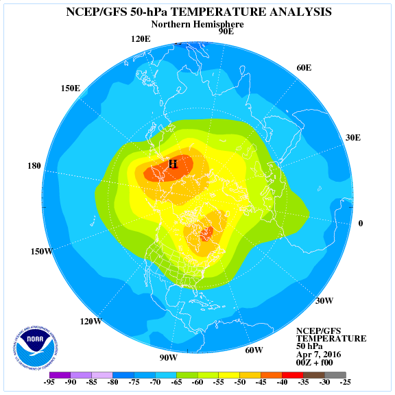
The much anticipated tanking of the NAO has occurred and caused a sudden 20C/40F temp rise within 24 hours over the heart of Greenland.

Take a look at the difference in conditions at Summit Camp, Greenland within just 24 hours.
YESTERDAY AM: -40C/F with clear sky and jet stream hundreds of miles to the south.

Chart this morning following major southward dip in jet stream over the eastern USA… Look at the high now over Greenland.

Credit: Tropical Tidbits

Credit: Tropical Tidbits
Check out this morning jet stream position between North America and Europe.

Credit: AccuWeather Pro
THIS MORNING at Summit Camp, Greenland, -18C/0F with cloud, snow and wind thanks to jet overhead.

By driving warm Atlantic air up over Greenland, arctic air is forced into the twin troughs either side, hence why it’s close to -18C in West Virginia while it’s snowing in parts of Ireland and the UK.
This global 850mb temp chart says it all. Mild over Greenland while arctic air dives south into the troughs either side.

Credit: AccuWeather Pro
Northumberland and Cumbria this morning.

Credit: Paul Kingston

Credit: Paul Kingston
County Cork, Ireland

Credit: Justin McCarthy
Across the pond… -17C (2F) at Davis, West Virginia following yesterday’s snow storm.


This is the direct response from the SSWE during the second half of March, keeping ski conditions excellent by April standards all the way to the Sierra Nevada of Spain.
Month so far.

Credit: M Ventrice
Nevis Range, Scotland

Credit: Nevis Range

Credit: Nevis Range
Glencoe, Scotland

Credit: Glencoe
Sierra Nevada, Spain


Cervinia, Italy

Details on the upcoming work week will be available in today’s video which will be available later this afternoon.
[/s2If][s2If current_user_cannot(access_s2member_level1)][magicactionbox id=”18716″][/s2If]


Recent Comments