>
Join The Conversation!
In Today’s Blog
Latest UK-Europe Discussion @ #UK-EUROPE
UK Seeing A North-South Divide, Heavy Rains For South Tonight, Possible 21C In NW Scotland Thurs
Latest Weather from India-Sub-Continent @ #INDIA-SUB CONT
Latest India, Sub-Continental Weather By Rajesh Kapadia
US LATEST
More Storms As Heat Expands
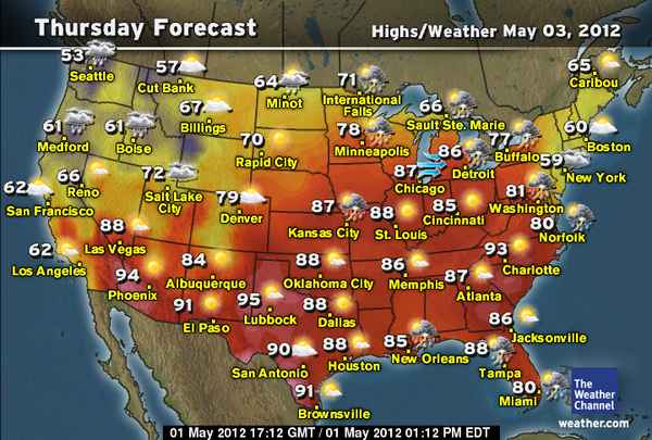
More Dangerous Storms Today Nebraska to Wisconsin
ACCUWEATHER

Strong Storms Extend From Great Lakes To Mid-Atlantic

VIDEO: Spring Showers, Summer Warmth in the East
ACCUWEATHER
May Heat Wave: Days of Record Heat for Southeast
ACCUWEATHER

Coastal California May Gray Continues
ACCUWEATHER

The Weather Channel Celebrates 30 Years
I would like to personally wish all at the Weather Channel a happy 30th birthday. Congratulations on your tremendous success and service to the public.
EUROPE LATEST
UK Seeing A North-South Divide, Heavy Rains For South Tonight, Possible 21C In NW Scotland Thurs
MORE RAIN FOR SOUTHERN ENGLAND TONIGHT, COOL, CLEAR OVER SCOTLAND GIVES WAY TO MILD TO WARM DAY TOMORROW, 21C POSSIBLE FOR NW HIGHLANDS, 20C OVER GLASGOW

Yet another band of rain will work northwards from France up into Southern England and Wales through this evening and will intensifying into pulses of heavy and thundery rains through the night. Blame the old and stubborn upper low spinning well to the southwest of the UK for sending more rain. However, this low is far enough to the southwest for high pressure to feed warmth from off the low countries into northern England and Scotland. With stronger ‘heights’ and sunshine,l temps are responding well and while we’ve seen temps rise to 16C at Prestwick (Ayrshire) and 18C up at Altnaharra (N Highlands), tomorrow will see stronger heights and with an eastern flow downsloping the NW Highlands, sheltered areas such as Kinlochewe may reach 21C during Thursday, 19, perhaps 20C in Glasgow while it remain cloudy over the Midlands and South of England, it will be fairly mild though at 17-19C.

Rest Of Europe
SPAIN, PORTUGAL REMAINS UNSETTLED, HEAT IS SHRINKING BUT IS STILL HANGING OVER OVER CENTRAL AREAS, STORM SLAMS SOUTH EAST, SCANDINAVIA TURNING COLDER
The heat, though shrinking and loosing steam, remains over Germany, though upper energy spreading east off the trough is sparking thundery downpours while it’s more settled high pressure domination continues to keep skies sunny, warm over Poland. Moscow is a lot cooler with a trough and northeast flow. Interestingly, while Sunday saw a record breaking 28.6C high, the very next day saw a mere 14C high thanks to a backdoor front out of the northeast, this cooler air has remained persistent with the heat pushed off to the west of the city.
Southeast Europe over Turkey, Greece, stronger heat and an upper low kicked off a powerful storm which brought flooding rains via strong thunderstorms along with damaging winds.
It remains unsettled and cool across Spain and Portugal while much of France remains fairly quiet but mostly cloudy with near average temps.
Scandinavia is cooling down thanks to a new trough drawing south from the Arctic. This will continue to dig south, feeding increasingly colder air down over Norway, Sweden and to a lesser degree, Finland. This chill with lowering snow levels is on it’s way to the UK and looks set to erase the spring tease over Scotland today, Thursday and Friday. We’ll go from 19-21C down to 6-10C and cold north wind by Saturday.
ECMWF POINTS TO BUILDING HEAT OVER IBERIA IN 7-10 DAYS


I mentioned how I believed a turnaround to more settled conditions may occur from May 10/15th onwards over Western Europe if there is some sort of 30-40 day ridge-trough cycle over Europe, given the March, April flip in opposites.
Funnily enough, the ECMWF suggests a building upper ridge late next week and into the weekend as reds spread up into Spain and Portugal. Firsts 100sF for Southern Central Spain/Portugal. Could this, if happens, extend north up into the UK? We should keep watching this closely. Very far out but interesting.
Latest European Weather Articles
Fierce storm batters the Mediterranean
BBC
Drought fears continue in England despite recent rain
BBC
Caroline Spelman: Dry winter may mean standpipes in 2013
BBC
.gif)
AUSTRALIA LATEST
Developing Low To Bring Wet, Windy Weather To SE And Tasmania
THE EXTREMES OF THE DAY
TODAY’S US EXTREMES
COURTESY OF ACCUWEATHER
HIGH: 104° at Childress, TX
LOW: 19° at Phillipsburg, MT
TODAY’S UK EXTREMES
COURTESY OF THE MET OFFICE
HIGH: 68° (20.1°C) at Kinlochewe (NW Highland)
LOW: 30° (-1.1°C) at Dalwhinnie (Highland)
TODAY’S EXTREMES HERE AT MY HOUSE
HIGH: 57°
LOW: 45°
Thanks for reading.
-Mark


Recent Comments