>HURRICANE EARL SPECIAL
On Weather & Climate Through the Eyes of Mark Vogan

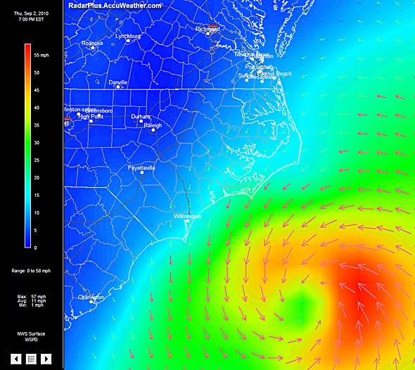
Hurricane Earl may do more on Cape Cod that what was seen over the Outer Banks, despite being only 50 miles off the NC coast as a cat 2!
9pm GMT Update: HURRICANE EARL IS CURRENTLY, NOW A CATEGORY ONE STORM, MAX SUSTAINED WINDS OF 80MPH, GUSTS TO 105MPH, MOVING OFF TO THE NORTH AND EAST
As Earl tracks northeastwards it continues to do several things, speed up as it becomes attached more to the westerlies than riding around the clockwise flow of the western periphery of Mid-Atlantic ridge, as it enters more northerly latitudes of the western Atlantic, it is also spreading it’s windfield out from the center, not good news for New England (particularly coastal New England tonight) and up in Atlantic Canada tomorrow and like a skater who slows down, they spread outwards, this is of course the weaking of it’s core winds within a rather poor looking eye and eye-wall, perhaps due to dry air coming off the US, colder waters that are quickly dropping through the 70s as it passing east of Long Island and will by tomorrow enter waters in the 60s off the Canadian Maritimes.
Maximum sustained winds are now at 80mph and it may fall more before it makes it’s closest appraoch to Cape Cod, what I am worried about is the interaction with the westerlies and other non-tropical atmospheric conditions seen at this latitude that may force unexpectedly strong winds up through Rhode Island, and across Cape Cod, the islands and up to Nova Scotia and surrounding Canadian provinces.
This system will be bringing perhaps a uniform 2-4 inch rains anywhere from higher ground of NW New Jersey, through southern New York state into Connecicut, western Massachussetts and up into Maine, particularly coastal Maine, from Providence on north and east into central and coastal Massachussetts including Boston we may see 3-6 inches of rain and perhaps 8+ inches for Cape Cod and the islands of Nantucket and Marthas Vineyard.
ALTHOUGH THESE CONDITIONS HAVE ALREADY OCCURED THIS AFTERNOON: Winds, 20-30mph sustained winds for coastal Jersey, lower amounts further inland, gusts to tropical storm force of 40-50mph, for coastal Long Island we may see a uniform 20-35mph sustained winds, gusts to 60mph on exposed areas, particularly along the northern tip around Montauk.
Across New England (less for western areas) winds should be gale-force (tropical storm force over the mountainous areas) sustained, 50-60 in gusts but for coastal Rhode Island and Massachussetts we should see tropical-storm conditions through tonight with sustained winds of 40mph +, gusts perhaps in the upper end of tropical storm force (around 55-70mph), Boston may see 60mph gusts as the squalls roll through… As for Cape Cod, tonight will bring either strong tropical storm force conditions with maximum sustained winds expected to be in the 60-70mph range with gusts beyond 75mph or if this system tracks either closer (within 20-50miles or less) then we may see a period of actual hurricane conditions where sustained winds blow over at least part of the Cape at or beyond 75mph, gusts perhaps close to 100mph. If this occurs, then we’ll see damage to homes, flooding and surge damage along the beaches…
System not as bad as it couldn’ve been for the Outer Banks, Can Cape Cod get off the hook too?
By Mark Vogan


Recent Comments