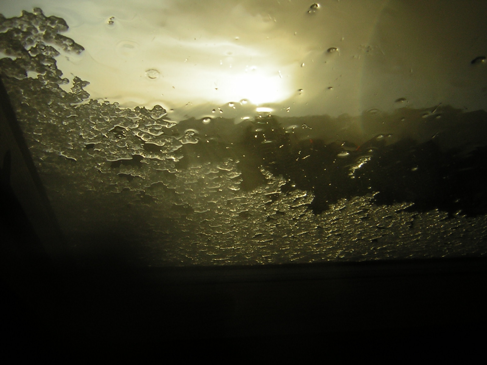
> Hail on window with a glimmer of sunshine
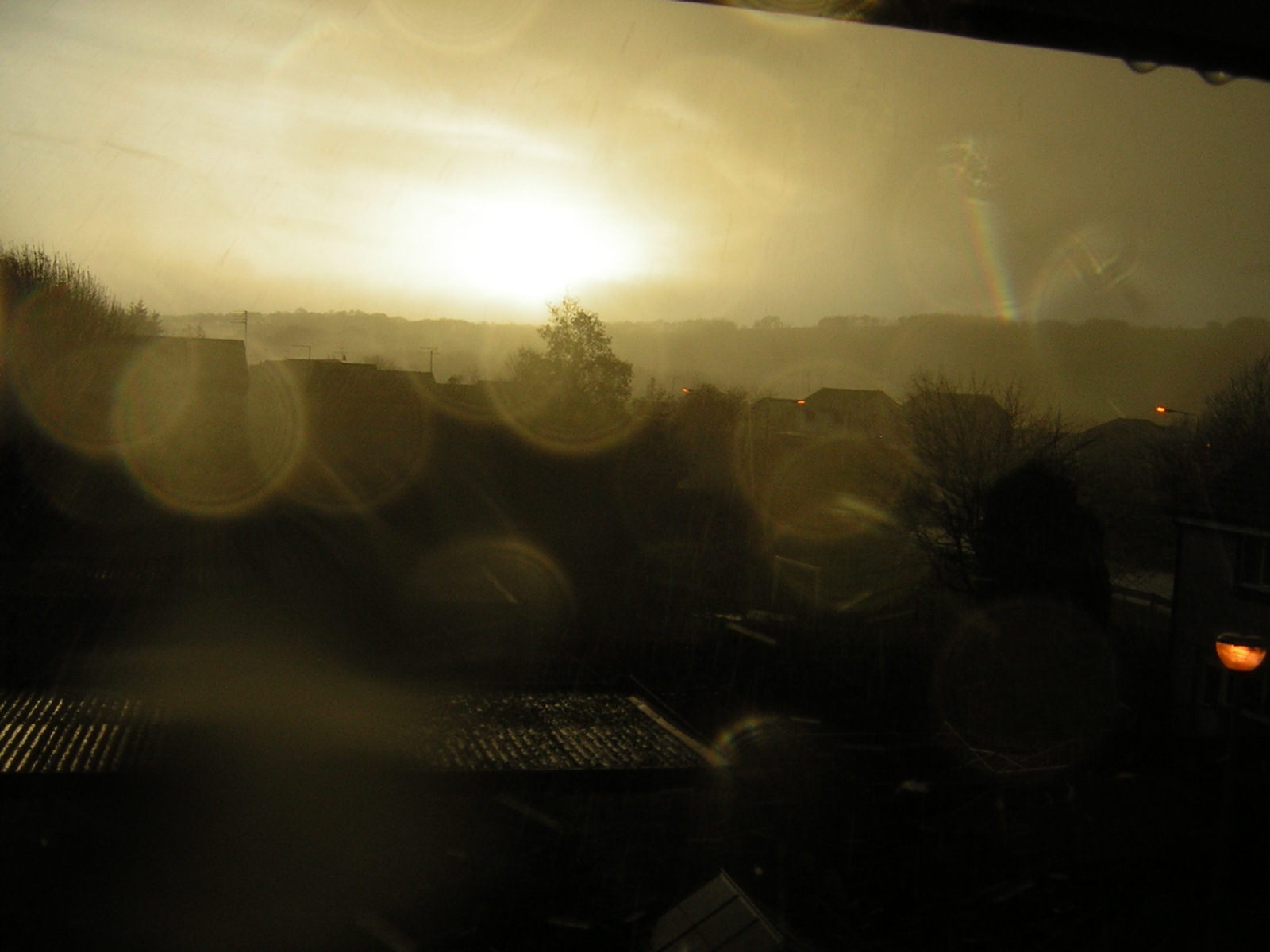
 Hail on attic window
 Wil sky as fresh punch of wind, rain and hail roar in
 Hail accummulation on my back door step!
 Dark clouds sweep in as latest cells roars in from the southwest horizon
 Sea form off the turbulent sea!
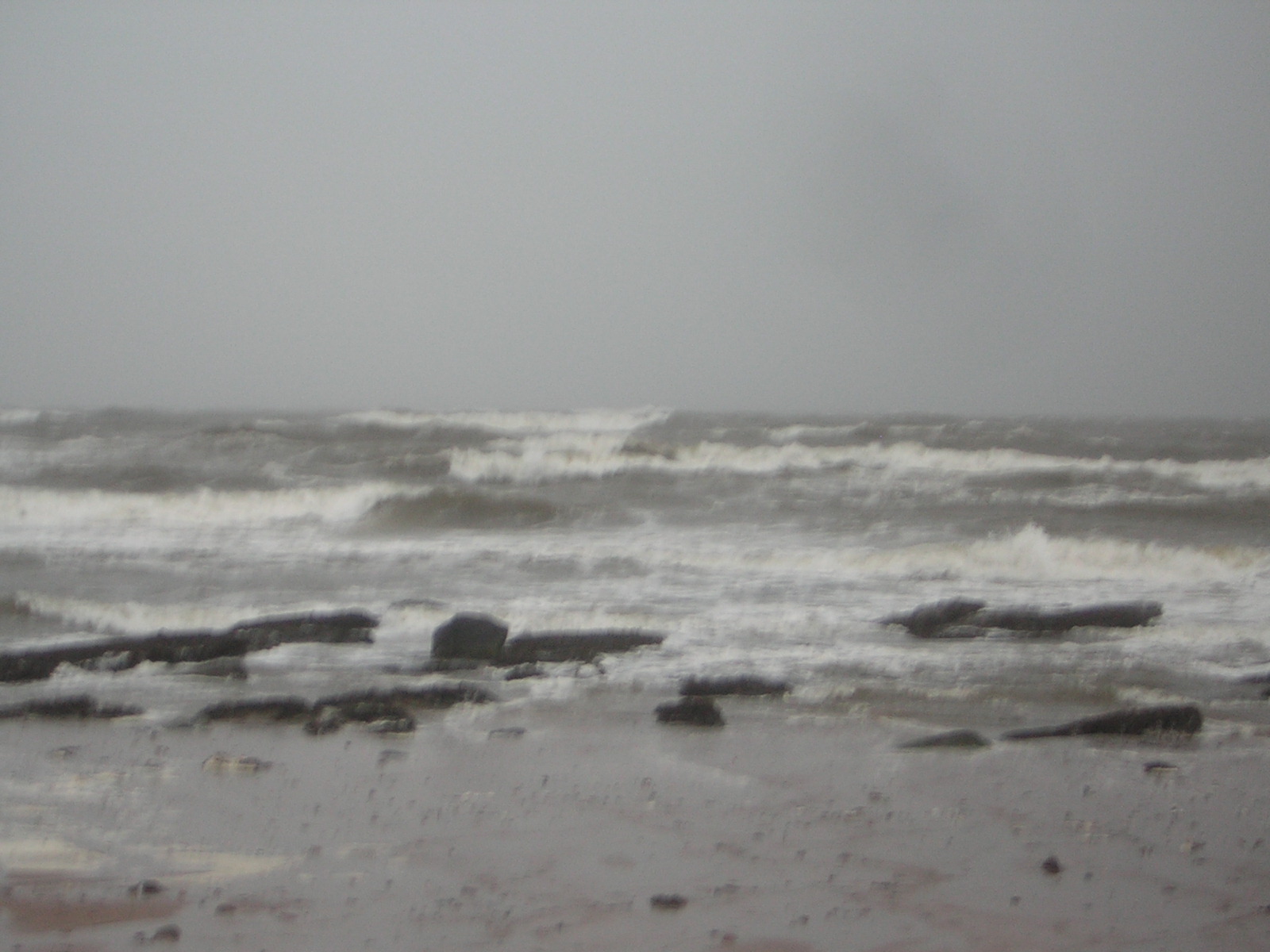 The turbulent Firth of Clyde
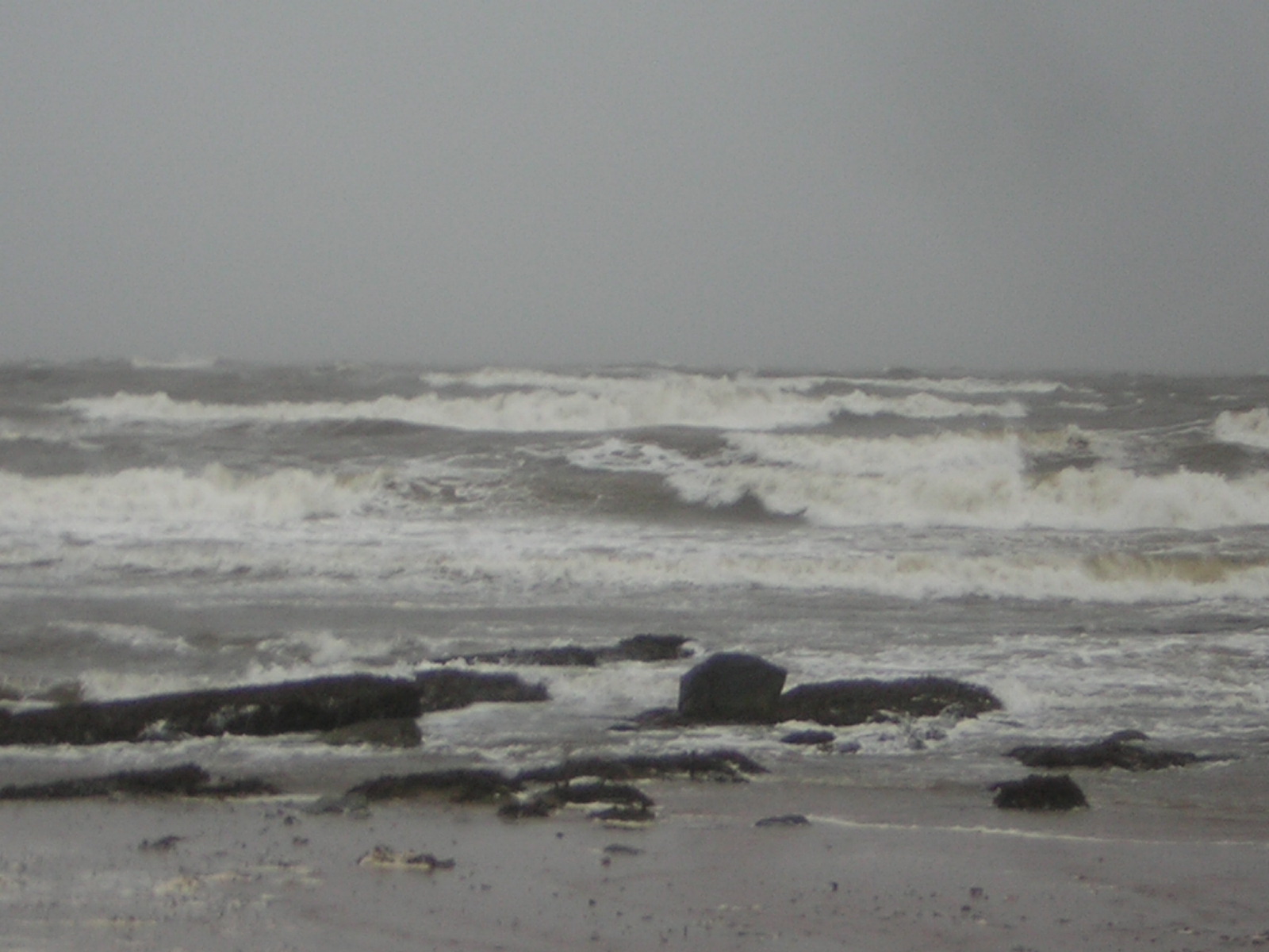 Turbulent Firth of Clyde
The vicious Atlantic storm train continues and today the winds have been just as much the story as has been the persistent rains that soak you in seconds.
I for one will be glad when this cycle of “bad weather” is done. Bring on the cold Scandinavian-Siberian high!
Since returning home from a day of getting hammered by wind and rain both on the roads and out unloading in the full wrath of the elements, I have tracked the hourly Met Office observations and here are some gusts reported as of 3pm GMT this afternoon.
Skye Lusa: WSW sustained at 39 mph, gusts to 63 mph..
Machrihanish: SWS sustained at 39 mph, gusts to 63 mph.
Prestwick: WSW sustained at 30, gusts to 55 mph.
Glen Ogle: WSW sustained at 52 mph, gusts to 83 mph…
I am guessing some remote spots either on top of some of the highest peaks or on exposed coastal areas we will have seen gusts surpass 100 mph. Cairngorm Mountain often tops the wind gust list and Id fully expect on a day where pressures are down into the 960mb territory and at the 4,000 + ele we would have winds supporting that ferocity. Afterall gales to severe gales are not uncommon at this time of year, what isn’t common the the fact that we simply can’t get a break from torrential, wind driven, soaking rainfall that’s breaking records and is likely continuing to still break rainfall records.
Today, has been a day LIKE YESTERDAY, AND THE DAY BEFORE for staying indoors with a hot cup of coffee and the feet up in a nice warm cosy house…. I drove through the seaside communities of Ardrossan and Saltcoats only to find another pummeling was driving onshore off the windswept swells of the Atlantic. As the next cell or band of supersaturated air and pockets of intense wind embedded within the overall flow hit, it was like driving in a hurricane as rain swept horizontally across the road, blowing my truck from side to side and visibility that was greatly reduced.
This happened everytime each new squall arrived as this massive low was full of embedded cells of stronger winds and heavier rain. Hail also battered off the attic roof on two seperated occations. Thunder and lightning would not be a surprise during the passing of intense cells!
When does the train of Atlantic cars of low pressure finally leave the tracks??
As the cold air starts to drain south from Alaska into the USA, the atmosphere will begin to alter for what has seemed a lifetime of wind and rain for all of us here in the UK. The Arctic Oscillation’s positive phase is on it’s final lap and once the changes take place which they are as the USA is beginning to cool, we here SHOULD start to see the Atlantic start to ease. The jet stream must start to buckle. At the moment the jet is pointing straight into the UK, bringing low after low into us, the reason for such a long and persistent unsettled pattern.
The USA has been very mild and stormy (mainly West Coast) and now that they are seeing potential for Arctic air drilling south, we are likely to start seeing ridging over the storm battered West Coast, therefore the changes there, should alter the hemispheric pattern.
Unfortunately, my estimations tell me, we won’t settle until early or even mid-December. What changes there will be may be more associated with temperatures.
The troughiness that’s likely to start forming deeper into the NE Atlantic I believe is likely to bring a continuation in the Atlantic low pressure, though may have less frequency and rapid hits as well as less moisture supply since the source region of air has less moisture since it’s of colder origin (instead of subtropics source regions, it will be maritime polar) as what we’re seeing now, but colder Atlantic lows may bring colder days and nights as well as colder, biting winds!
As for precipitation, I believe the higher ground of Britain, especially north, will see more snowfall, even blizzards (more notably, first week of December) but as the trough deepens, so the snow levels may start to drop as colder air draws in across Britain.
USA Cold fast approaches!
For my dedicated and loyal American viewers. May I firstly wish everyone of you a very happy Thanksgiving and may you find time with friends and family a joyful one.
Your weather for sure is drawing colder as the chilly air draws south from the Lakes. Watch out for those of you living downwind of the Lakes, lake-effect snows may be sparked, however the general picture remains above average but the cooling is starting and will become more pronounced in the next 7-14 days as storms may roam the Eastern Seaboard and with that, colder air may get pulled south, by each passing low.
Draw the trough into the west, pulls storm systems in off the Pacific to start dropping the low pressure storm train further south also, therefore when these systems continue to push west to east as well as draw colder air south, the chance for snowstorms will increase.
Up until now, each and every Pacific storm is been zonal, therefore the only snow seem up until now is higher elevation snowfall, not low elevations or valley floors and the air that’s pushed ahead and behind these low pressure centers has simply reinforced the maritime air across the continent. Tides are changing as a trough deepens ocer the west as Arctic air is departing Alaska, where is that cold air going?, south!.
Hopefully, the changes happening both in North America with the drawing of Arctic air southward and the westward push of Arctic air over Asia, will start to ease the Atlantic barrage here in Britain which it likely will do. Don’t expect instant ease of the storms or rainfall, but those living in highest elevated areas of Britain are likely to see those winds bring snowflakes through the air… At the lower elevations, that wind is going to sting more!
Thanks for reading.
-Mark
Today’s Weather Here
Today’s extremes here at my house
High 44.9 degrees Low 39 degrees
A day dominated by heavy, wind driven rain and hail with gusts up to 50-60 mph across the Glasgow to Edinburgh corridor and 70-85 mph gusts have likely hit exposed areas. Additional flooding has been caused and some minor wind damage has likely occured! A colder feel today than of late..


Recent Comments