
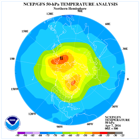
Why are we seeing snowstorms followed by mid winter cold in April? Thank or blame the huge stratospheric warming back in late March.
The below infrared satellite imagery shows extremely cold air (yellow) sweeping down over Ontario.

The system pushing from Ohio to New Jersey will open the door to a February strength air mass tonight which could break all-time April cold records from Ontario to West Virginia.
2pm temps & radar.

Credit: WeatherBug

Credit: WeatherBug
You could be forgiven for thinking these charts above and photos below were from January 9 and not April 9.
Woodbridge, VA

Credit: Larry Fish
Woodbridge, VA

Credit: Larry Fish
Sylvania, OH

Credit: Eric Upchurch
[s2If current_user_can(access_s2member_level1)]
I-96 Michigan

Credit: WeatherBug
US-219 Bradford, Pennsylvania

Credit: WeatherBug
I-71 Cleveland, Ohio

Credit: WeatherBug
GFS surface/precip through next 24 hours.

Credit: Tropical Tidbits


Credit: Tropical Tidbits

Credit: Tropical Tidbits

Credit: Tropical Tidbits
The cold which follows is true winter brand cold!

Credit: NWS Via Chris Beale

Credit: Tropical Tidbits

Credit: Tropical Tidbits

Credit: Tropical Tidbits
A sign of things to come over the Northeast tonight?
An impressive -12 recorded in Minnesota’s Arrowhead region this morning.

See today’s video.
[/s2If][s2If current_user_cannot(access_s2member_level1)][magicactionbox id=”18716″][/s2If]


Recent Comments