
We may finally be turning a corner with this super mild fall of 2016.
It looks set in stone that the first snowstorm is on the way from Washington to Minnesota. A second low pushes into the Pacific Northwest and looks set to deliver as it deepens into a major low and wind machine once east of the Rockies.
Plenty of pre storm warmth, what’s new?

Credit: weather.com
Heavy windblown snow will affect the N Rockies as well as the Northern Plains late week.

Credit: AccuWeather
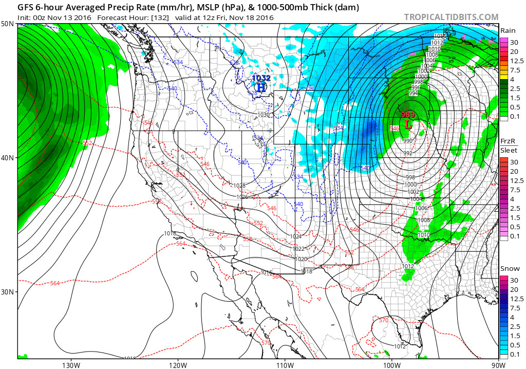
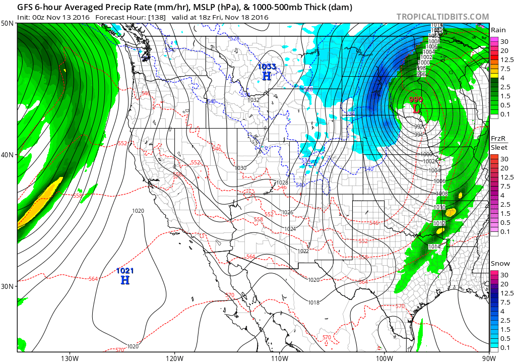
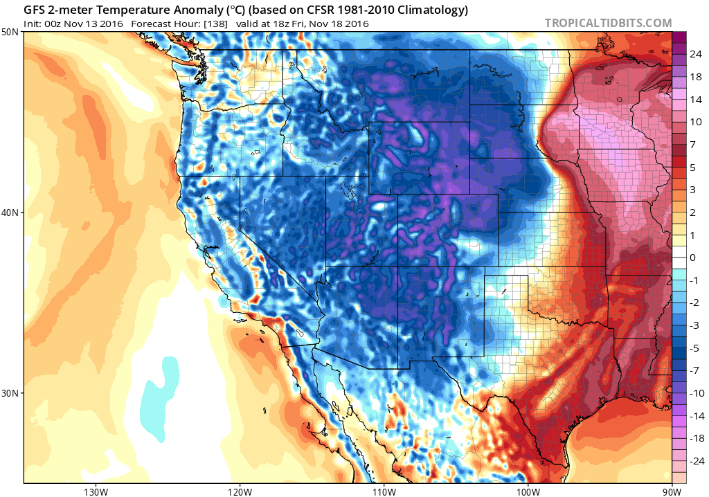
Here’s the latest from the GFS.

Credit: Tropical Tidbits

Credit: Tropical Tidbits
Credit: Tropical Tidbits
Credit: Tropical Tidbits

Credit: Tropical Tidbits
Nice tight thermal gradient, classic of deep autumn or spring storms.
Credit: Tropical Tidbits

Credit: Tropical Tidbits
See today’s video.
[s2If current_user_can(access_s2member_level1)]
[/s2If][s2If current_user_cannot(access_s2member_level1)][magicactionbox id=”18716″][/s2If]


")


Recent Comments