A major storm system which a lot of fuel has made for a rough past 36 hours in Texas with deadly tornadoes on it’s warm east side and blizzard conditions on it’s cold backside, not forgetting the flooding rains too.
The was the scene in the suburbs of Dallas, TX yesterday.

Credit: AP
Lubbock, TX

Credit: Getty Images

Credit: Carrie Hoffman

Panhandle snow totals/drifts.

The same system lifts north, northeast and is set to bring snow up through the Midwest tonight into tomorrow.

Credit: AccuWeather
[s2If current_user_can(access_s2member_level1)]
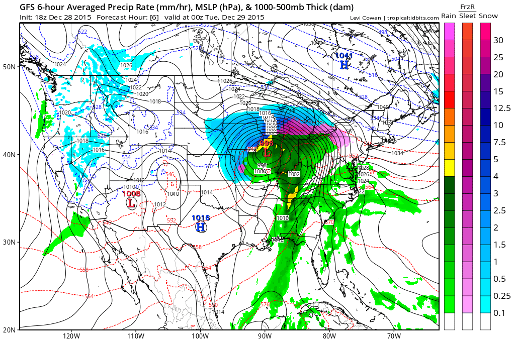
Credit: Tropical Tidbits
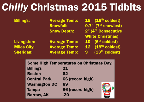
Christmas Wasn’t Warm & Snowless Everywhere
Much of the focus of late has been on the heat, rain and tornadic thunderstorms. However, Christmas wasn’t warm everywhere.
Over the West from Sierra to Wasatch and from Montana to New Mexico, the snows have been piling up with cold persisting through much of December.
This active Pacific storm track has been highly beneficial to a very dry West with snow water equivalent running above normal in much of the Intermountain West.

Remember back to late summer and how bad the West became with exceptional drought conditions.
On Christmas Day, West Yellowstone, MT had 32″ of snow on the ground. This was the most for Dec 25th since 1944.
In Cut Bank, MT, the high of 4 degrees was the 4th coldest Christmas Day on record. Coldest was 2012.
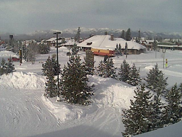
View of Bozeman Pass, MT Christmas morning.

Reno, NV saw their first white Christmas since 2012.

-31 in Wyoming yesterday morning.

-21 in Gunnison, Colorado

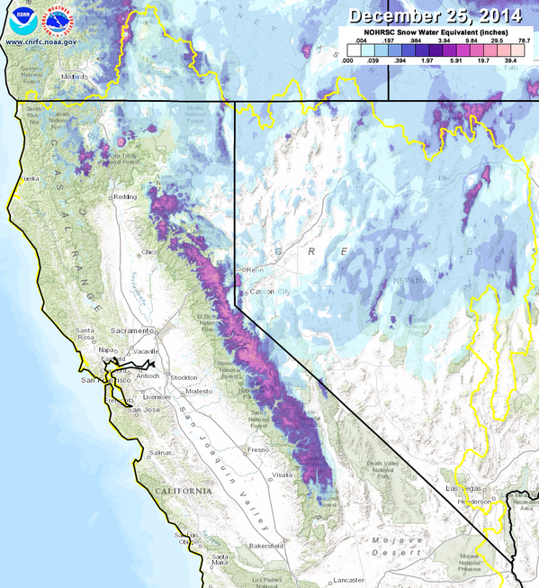
What a difference in Sierra Nevada snow pack between now and the same time last year.
2015 (110% of average)

2014 (55% of average)
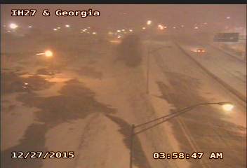
Amarillo early yesterday morning.


See this morning’s video.
[/s2If][s2If current_user_cannot(access_s2member_level1)][magicactionbox id=”18716″][/s2If]


")


Recent Comments