
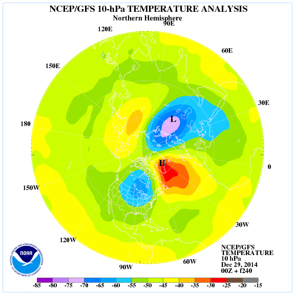
It remains THEORY until it physically happens but the latest GFS projections look even better than the previous runs. If correct, it would appear a sudden stratospheric warming event is ready to occur with a 180 degree turn from strong cold pool to strong warm pool over Greenland within 10 days.
TOP IMAGE: A stunning sunrise over a cold, frosty Heathrow this morning. Credit: Morten Zinck
[s2If current_user_can(access_s2member_level1)]
This would have potentially significant implications to Western Europe through the 2nd half of January. The model shows a major split in the reorganised vortex at 10mb sending one piece into the eastern US and the other? Eurasia. This could spark a major cold outbreak for the eastern US and Europe.
Initial
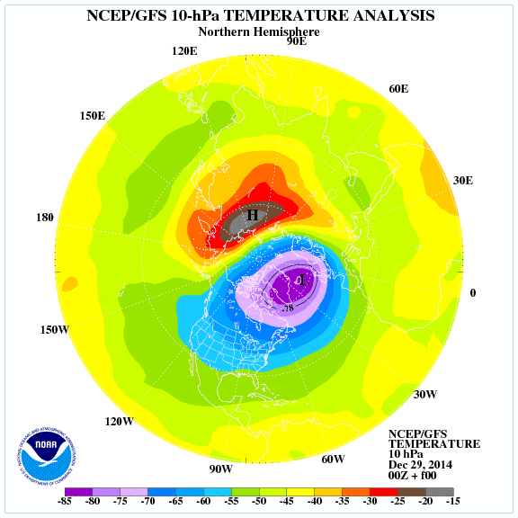
240h
Another thing catching my attention is the rare 1058 t0 1060mb high that’s dropping into Montana over the next 18 hours.

This is rare territory and what’s interesting is the dates in which the last time the US saw such a powerful arctic high. 1989, 83 and 62 according to Ryan Maue of Weatherbell. What’s significant about those years is that we saw a sudden stratospheric warming event and extreme cold here in the UK and Western Europe. So could this are high be another sign of major cold coming?
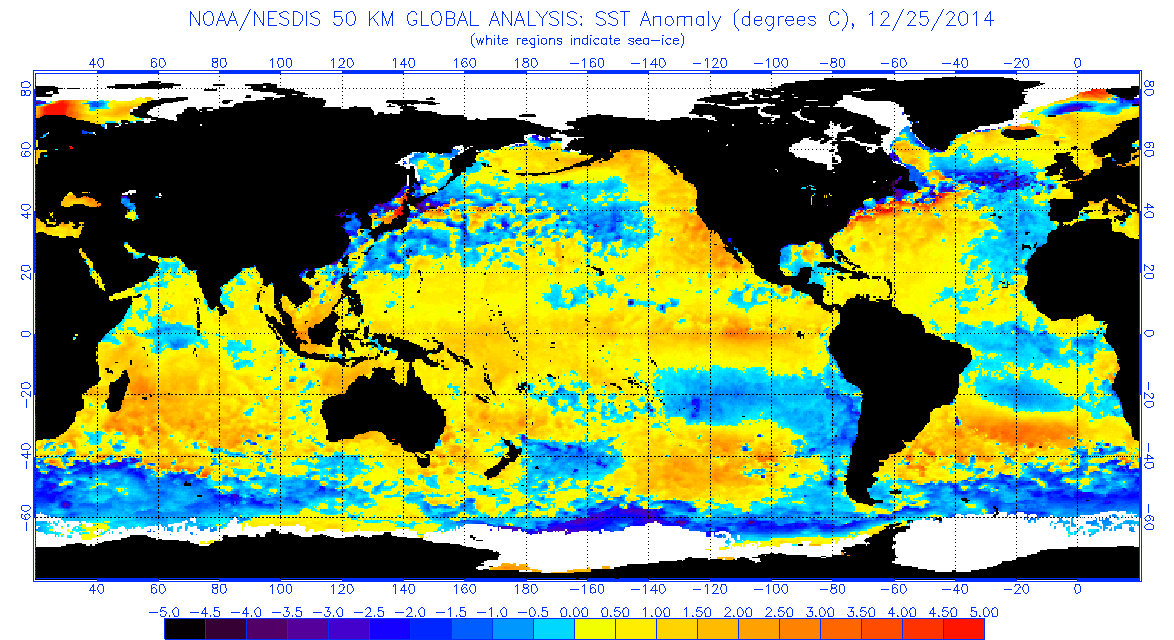
I also love the fact that the El Nino warm pool is shifting into the central Pacific while the Atlantic tripole is more favourable with cold water now reaching the UK like we saw in 2009!
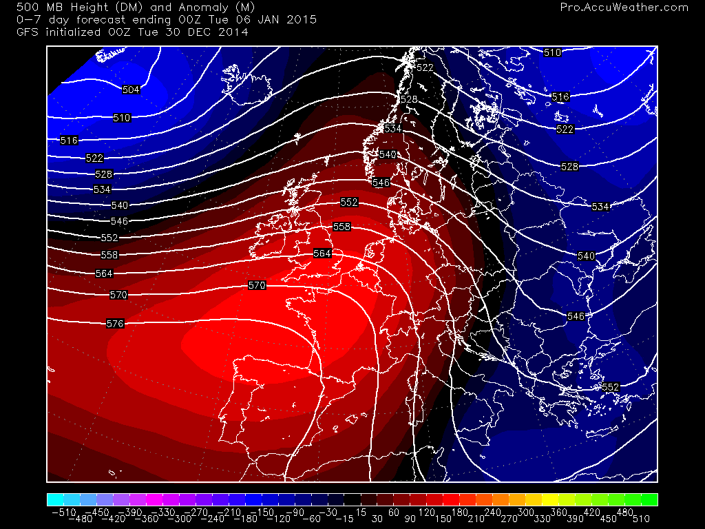
The next 2 weeks will be no different to what we’ve seen already. A flip flop pattern dependant upon which side of the Atlantic low your on.
Exciting times ahead!
See video for more.
[/s2If][s2If current_user_cannot(access_s2member_level1)][magicactionbox id=”18716″][/s2If]


")


Never see many extremes here in SW Ireland Im assuming any of this does not apply here as we are protected by the Atlantic,would this be a fair assessment?
come on Mark been waiting since 2010 for some snow down here lol